1、发现问题
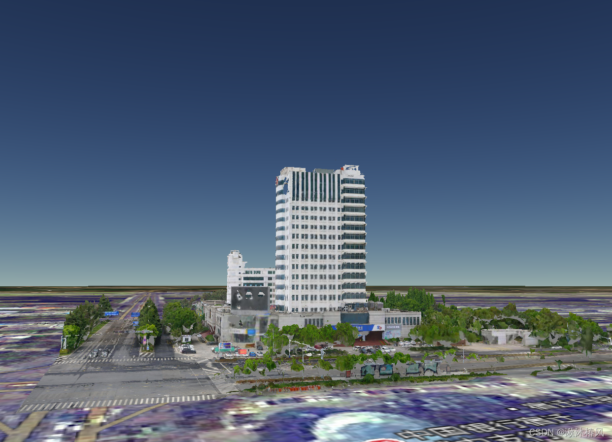
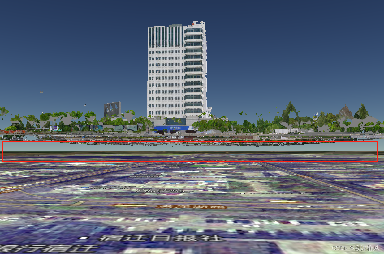
上一篇我们将倾斜摄影加载到地图上后发现其离实际地面高出不少,如下图
2、调整高度
       tileset.readyPromise.then(function (tileset) {
          var cartographic = Cesium.Cartographic.fromCartesian(
              tileset.boundingSphere.center
          );
          var surface = Cesium.Cartesian3.fromRadians(
              cartographic.longitude,
              cartographic.latitude,
              0.0
          );
          var offset = Cesium.Cartesian3.fromRadians(
              cartographic.longitude,
              cartographic.latitude,
              -26.0    //填高度差值
          );
          var translation = Cesium.Cartesian3.subtract(
              offset,
              surface,
              new Cesium.Cartesian3()
          );
          tileset.modelMatrix = Cesium.Matrix4.fromTranslation(translation);
          viewer.scene.primitives.add(tileset);
          viewer.flyTo(tileset)

      }).otherwise(function (error) {
          console.log(error);
      })